The places that make St. Paul's.
Seven places worth slowing down for — the landmarks residents point to when you ask what to see.
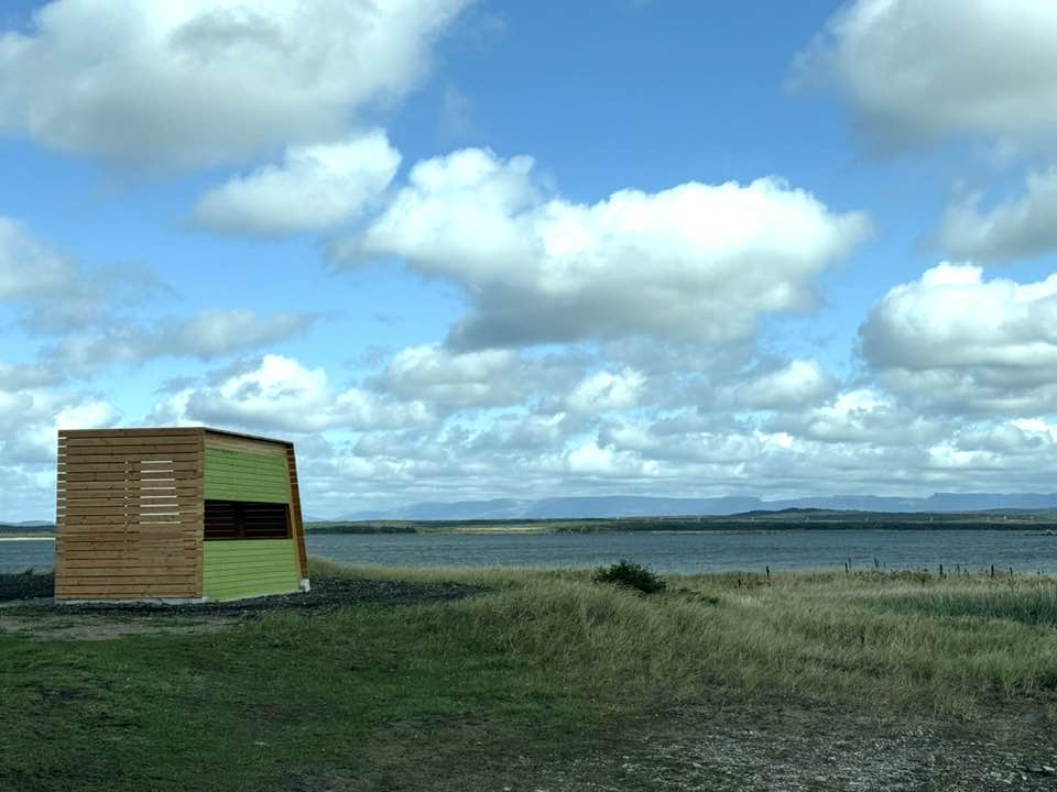
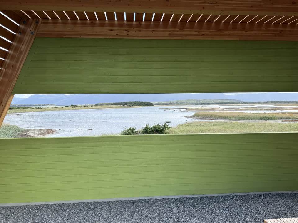
St. Paul's Inlet
A wide tidal inlet that opens to the Atlantic at Tickle Point. At low tide, eelgrass — locally called goosegrass — shows through the shallows. Harbour seals haul out on the rocks.
Tickle Point & the Saltmarsh
The saltmarsh at the inlet's mouth is considered one of the most productive habitats on the west coast — a resting stop for migrating birds, a nursery for fish, and a working landscape for clam diggers and duck hunters alike.
The Bridge
The current bridge replaced an earlier one carried away by ice in 1911. Completing it linked the Northern Peninsula all the way to St. Anthony. At sunset, its reflection in the inlet is the town's most photographed view.
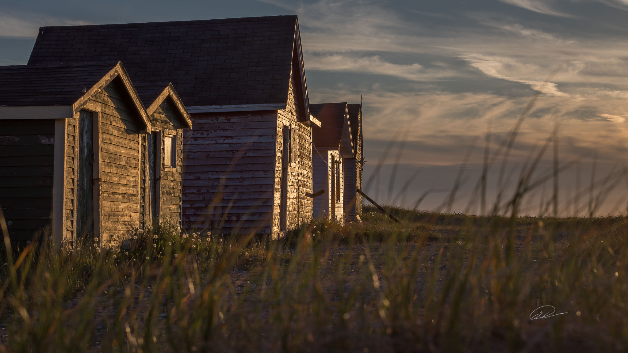
Old House Rocks
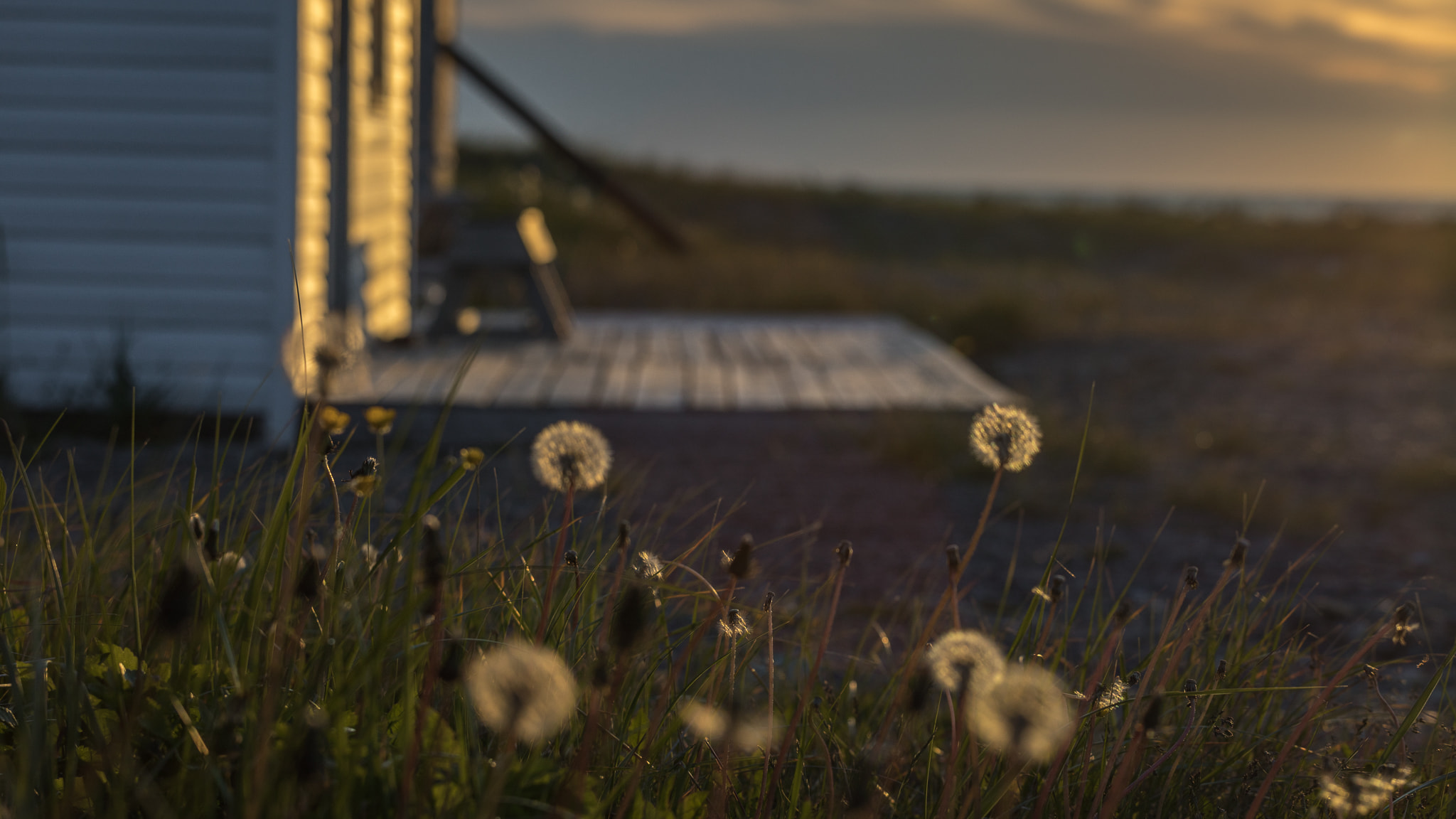
Old House Rocks is where the fishermen keep their summer cabins, wharves, and boats — weathered wood buildings where generations of shore crews have worked the catch. You can often see boats moored here in the early morning before they head out to set lobster traps.
The Long Range
The Long Range Mountains form the eastern horizon of the town — the northernmost reach of the Appalachian range. Their silhouette is a constant presence, different in every season and every weather.
Birds & the Inlet Walking Trail
Over a thousand nesting pairs of Arctic Terns use the inlet in summer. Willets — a sandpiper whose global population is under 750 pairs — breed in the saltmarsh. A short walking trail along the inlet is the best place to see them.
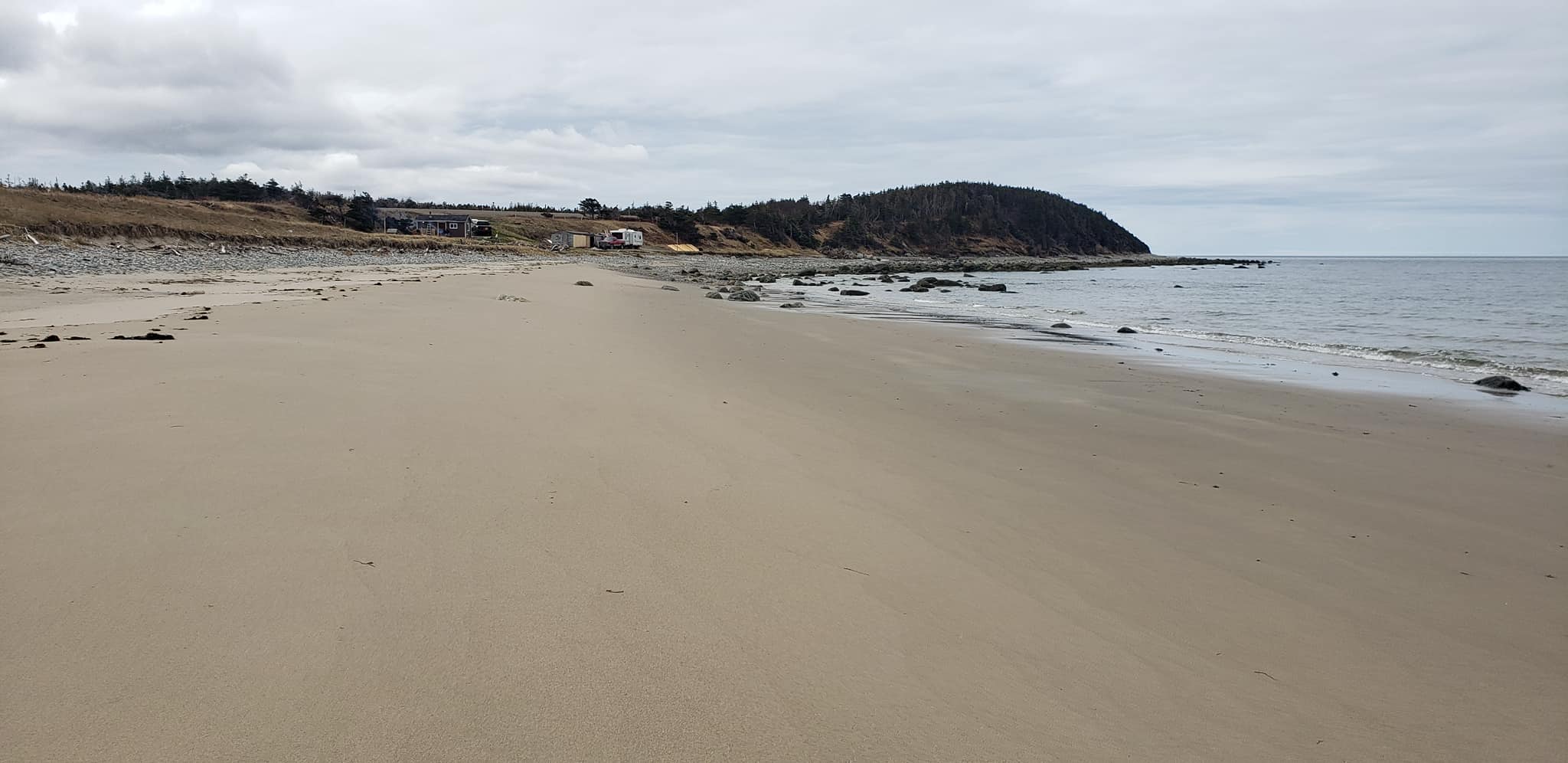
Western Brook
Just down the road, Western Brook is where locals go for the long sand beach and the walking trail along the brook. It's a classic day-use spot — easy to find, easy to love.